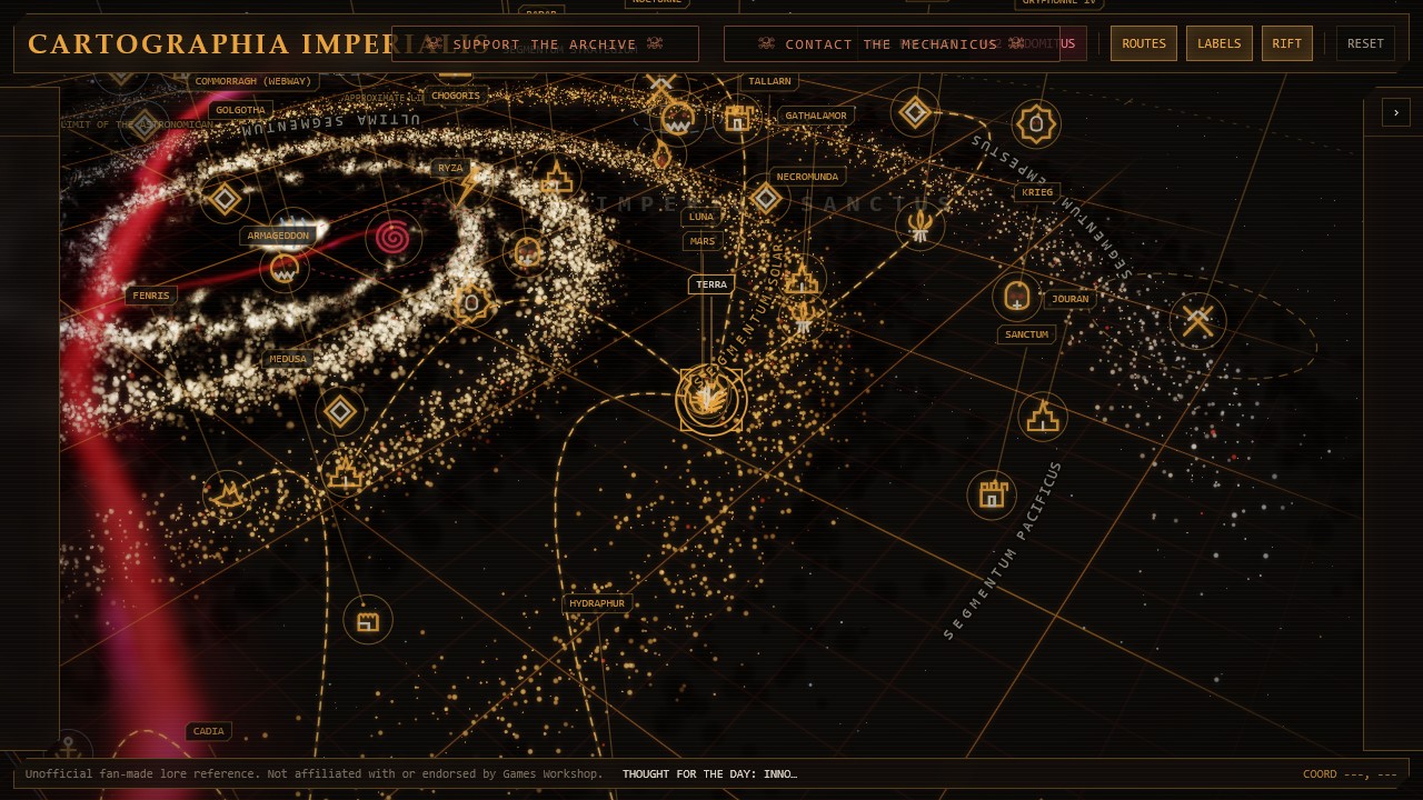
Reading the Great Rift on the M42 map
Switching the interactive chart to M42 adds the Great Rift as the defining feature of the Era Indomitus view. The red and dark rupture visually breaks routes and separates the more navigable Imperium Sanctus from the isolated regions commonly grouped under Imperium Nihilus.
The effect is intentionally geographic rather than encyclopedic. It helps answer a practical question—what changed about the shape of Imperial space after the Rift—without pretending that the warp can be reduced to a precise, stable border.
Imperium Sanctus and Imperium Nihilus
Imperium Sanctus remains connected to Terra and the Astronomican on the chart's more stable side of the divide. Imperium Nihilus describes the vast territories cut off or severely disrupted beyond it, where navigation, communication, reinforcement, and centralized authority become far less reliable.
These names describe strategic conditions rather than two tidy political countries. Some locations resist, some fall, and others change hands repeatedly. The map therefore uses individual dossier statuses alongside the large regional labels instead of assigning one uniform fate to every world.
Landmarks around the divide
Cadia and the Eye of Terror anchor the catastrophe at the former Cadian Gate. Vigilus matters because of the remaining passage associated with the Nachmund Gauntlet, while Baal provides a useful eastern reference point for the wars and isolation experienced beyond the Rift.
Select those markers or follow the linked dossiers below to compare their M41 and M42 descriptions. The route overlay is most informative when used with these landmarks, since it shows how a line that looks short on a static map can become strategically decisive once the galaxy is divided.
Why the Rift remains approximate
Published depictions of the Great Rift are stylized and vary with edition, campaign, and artistic purpose. Cartographia Imperialis therefore treats its visible Rift as an interpretive layer aligned to the project's chart, not as a traceable canonical polygon.
That limitation is a feature of the guide rather than something hidden from the reader. The map is meant to clarify the setting's large-scale relationships, encourage exploration, and lead into individual records—not replace official sourcebooks or settle deliberately uncertain lore.